
Coat Road, Martock, Somerset, TA12
- PROPERTY TYPE
Plot
- SIZE
Ask agent
Key features
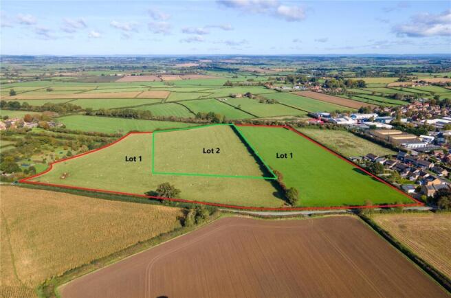
- Residential development site with resolution to grant outline planning permission, subject to the completion of the Section 106 Agreement.
- This is for up to 100no. dwellings, together with associated infrastructure works.
- Also available is additional land for approximately 80no. dwellings, subject to the grant of satisfactory planning permission.
- The site extends, in total, to approximately 9.2-hectares (22.74-acres).
- Lot 1 extends, in total, to approximately 6.11-hectares (15.1-acres).
- Lot 2 extends, in total, to approximately 3.09-hectares (7.64-acres).
Description
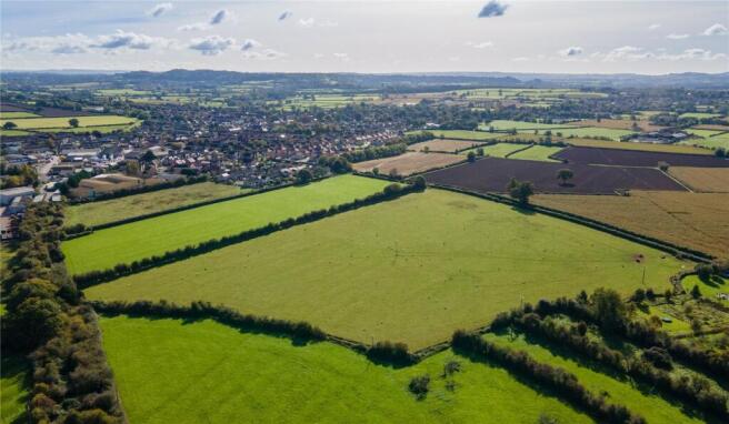
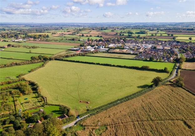
It is abutted to the north by a disused railway line and agricultural land; to the east by an existing housing estate and land with outline planning permission and multiple reserved matters applications for 35no. dwellings; to the south by Coat Road and to the west by agricultural land.
Brochures
ParticularsCoat Road, Martock, Somerset, TA12

NEAREST STATIONS
Distances are straight line measurements from the centre of the postcode- Crewkerne Station7.4 miles

Notes
Disclaimer - Property reference TAL240009. The information displayed about this property comprises a property advertisement. Rightmove.co.uk makes no warranty as to the accuracy or completeness of the advertisement or any linked or associated information, and Rightmove has no control over the content. This property advertisement does not constitute property particulars. The information is provided and maintained by Greenslade Taylor Hunt, Taunton Land. Please contact the selling agent or developer directly to obtain any information which may be available under the terms of The Energy Performance of Buildings (Certificates and Inspections) (England and Wales) Regulations 2007 or the Home Report if in relation to a residential property in Scotland.
Map data ©OpenStreetMap contributors.