Snelston, Ashbourne

- PROPERTY TYPE
Land
- SIZE
Ask agent
Key features
- DEVELOPMENT WITH PP FOR THREE RESIDENTIAL DWELLINGS
- QUIET RURAL LOCATION
- ADDITIONAL LAND AVAILABLE BY SEPARATE NEGOTIATION
Description
OPTION TO PURCHASE ADDITIONAL LAND UP TO 10.55 ACRES OR THEREABOUTS
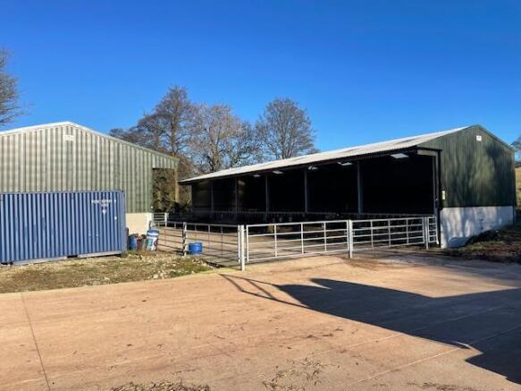
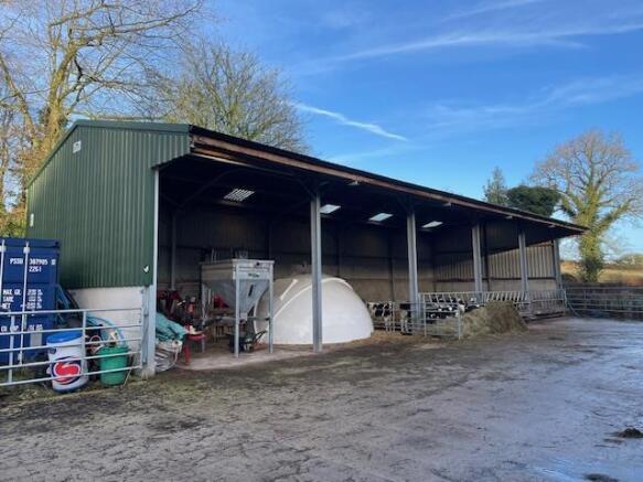
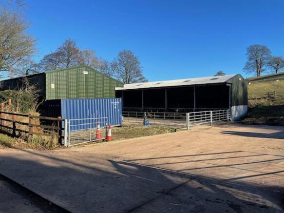
An opportunity to purchase a devlelopment project with planning permission for conversion of agricultural buildings to three, three bedroom properties.
There is additional land available by separate negotiation which is suitable for mowing or grazing purposes with good gated access.
OF INTEREST TO SPECULATORS, INVESTORS OR THOSE WITH SMALLHOLDER OR EQUESTRIAN INTERESTS.
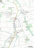
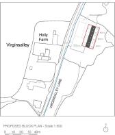
Directions - The land and buildings are situated a short distance from the market town of Ashbourne Derbyshire. The site is approached by heading south on the A52 from Ashbourne towards Sudbury, after 3 miles take the right turning just after Darley Moor Racetrack onto the B5033. After 1 mile take the first right turning onto Virginsalley Lane and the land and buildings are located on the right-hand side after 1 mile.
Follow Post Code DE6 2GP
What 3 Words - ///early.fuzzy.convinces
Please Download The Attached Brochure -
Brochures
Particulars - Land off Virgins alley snelston lg.pSnelston, Ashbourne

NEAREST STATIONS
Distances are straight line measurements from the centre of the postcode- Uttoxeter Station6.5 miles


Notes
Disclaimer - Property reference 33612790. The information displayed about this property comprises a property advertisement. Rightmove.co.uk makes no warranty as to the accuracy or completeness of the advertisement or any linked or associated information, and Rightmove has no control over the content. This property advertisement does not constitute property particulars. The information is provided and maintained by Graham Watkins, Leek. Please contact the selling agent or developer directly to obtain any information which may be available under the terms of The Energy Performance of Buildings (Certificates and Inspections) (England and Wales) Regulations 2007 or the Home Report if in relation to a residential property in Scotland.
Map data ©OpenStreetMap contributors.