
Carrington Way, Wincanton, Somerset, BA9
- PROPERTY TYPE
Plot
- SIZE
Ask agent
Key features
- Former council owned care facility suitable for complete re-development into a number of alternative uses (subject to planning).
- The site extends, in total, to approximately 0.4-hectares (0.9-acres).
- Offers are invited on an unconditional basis.
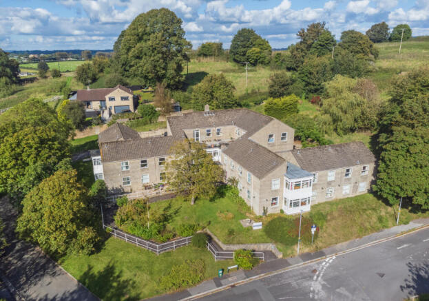
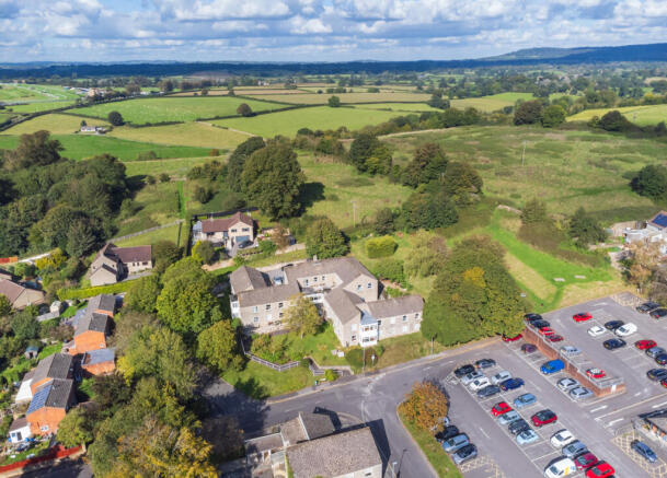
Description
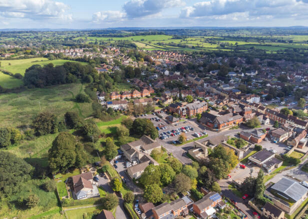
The property is situated off Carrington Way, a well-maintained no-through road to the north of Wincanton.
It comprises a large (circa 1970s) two-storey reconstituted stone/blockwork building under a tiled roof with a conservatory style extension to ground and first floor. it includes a rear car park, courtyard and garden areas. The building currently extends to a total area of 1,338-sq.ft. (14,401-sq.ft.).
It is abutted to the north by residential dwellings and agricultural land behind; to the east by residential gardens; to the south by Carrington Way and a car park; and to the west by Locks Lane and residential dwellings beyond.
The site extends, in total, to approximately 0.4-hectares (0.9-acres).
Brochures
ParticularsCarrington Way, Wincanton, Somerset, BA9

NEAREST STATIONS
Distances are straight line measurements from the centre of the postcode- Templecombe Station4.0 miles
- Bruton Station4.0 miles
- Castle Cary Station5.8 miles

Notes
Disclaimer - Property reference TAL240079. The information displayed about this property comprises a property advertisement. Rightmove.co.uk makes no warranty as to the accuracy or completeness of the advertisement or any linked or associated information, and Rightmove has no control over the content. This property advertisement does not constitute property particulars. The information is provided and maintained by Greenslade Taylor Hunt, Taunton Land. Please contact the selling agent or developer directly to obtain any information which may be available under the terms of The Energy Performance of Buildings (Certificates and Inspections) (England and Wales) Regulations 2007 or the Home Report if in relation to a residential property in Scotland.
Map data ©OpenStreetMap contributors.