Plot 18,Common Farm, Common Road, DIckleburgh, Norfolk
- PROPERTY TYPE
Land
- SIZE
16,846 sq ft
1,565 sq m
Key features
- Road Frontage
- Freehold
- 0.38 acre
- Amenity Land
- Natural Pond
- Separate Gated Access
Description
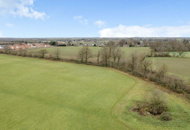
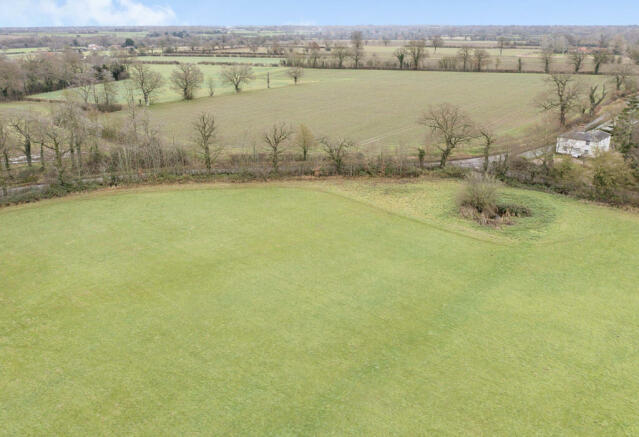
0.38ACRE (STMS), Road Frontage, Amenity Land, Natural Pond.
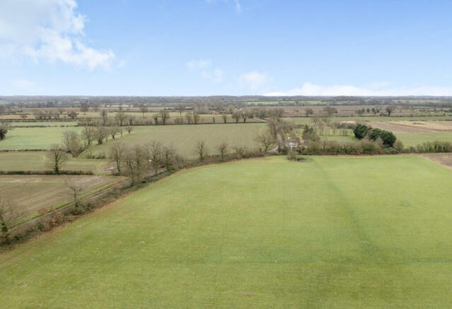
Plot 18 is an interesting parcel of amenity land measuring just under 0.40 of an acre. With road frontage in addition to gated allowing further access along the lane this parcel of land could be suitable for a number of uses subject to the relevant planning permissions being grated. In total there is approx. 53 meters of road frontage.
The owners have advised that there are no direct connections to site for utilities.
Please note images are indicative of the overall site in some instances showing additional plots not in the owners possession.
Location
Located on the edge of the village and within walking distance of the local amenities that Dickleburgh has to offer including, village shop & post office, public house & primary school. Slightly further afield is Dickleburgh nature reserve with the town of Diss being some 6 miles distant.
Council tax band: Not Required
Plot 18,Common Farm, Common Road, DIckleburgh, Norfolk
NEAREST STATIONS
Distances are straight line measurements from the centre of the postcode- Diss Station3.1 miles
Notes
Disclaimer - Property reference ZHusEstates0003511232. The information displayed about this property comprises a property advertisement. Rightmove.co.uk makes no warranty as to the accuracy or completeness of the advertisement or any linked or associated information, and Rightmove has no control over the content. This property advertisement does not constitute property particulars. The information is provided and maintained by Hus Estates Ltd, Diss. Please contact the selling agent or developer directly to obtain any information which may be available under the terms of The Energy Performance of Buildings (Certificates and Inspections) (England and Wales) Regulations 2007 or the Home Report if in relation to a residential property in Scotland.
Map data ©OpenStreetMap contributors.


