Approx 19 Acres At Axton, Holywell
- PROPERTY TYPE
Land
- SIZE
827,640 sq ft
76,890 sq m
Key features
- APPROX 19 ACRES AT AXTON, HOLYWELL
- GOOD ACCESS
- MAINS WATER SUPPLY
- WELL FENCED WITH PART BEING CAPABLE OF GROWING CROPS
- MAY SUIT A VARIETY OF USES AND IS USEFUL FOR OUTWINTERING LIVESTOCK
- FOR SALE BY PRIVATE TREATY
Description
The land is located approximately 1 mile to the north east of the main A5151 road between Lloc and Trelawnyd.
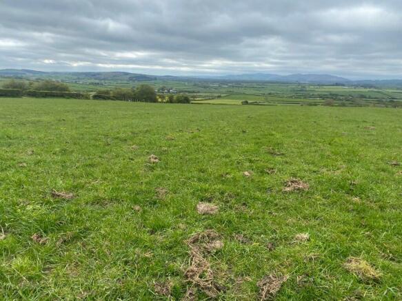
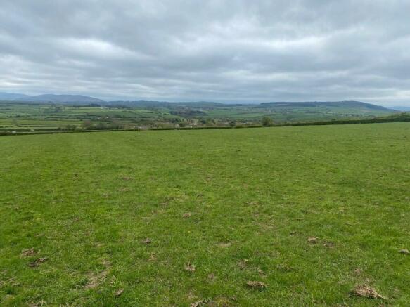
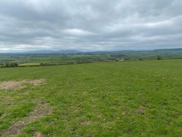
Comprised and offered for sale as one lot, the land benefits from good access and is well fenced, also being in good heart. The land and has been farmed to a high standard in recent years.
Part of land is capable of growing crops with an area of spoil heaps being useful for outwintering livestock and may suit a variety of uses.
The land benefits from a cattle handling area by the access track.
A third party has the benefit of a right of way along the access track.
Offered for sale by private treaty
Guide Price: £200,000.
DIRECTIONS
From the A55, exit at junction 31 (Caerwys interchange) head north along the A5151 signposted for Whitford. Continue along the road, at the next roundabout take the first exit signposted for Dyserth, continuing along the A5151.
Continue for approx.. two miles, then turning right signposted for Llanasa and Trelogan. Keep left onto Bryn yr Odyn. Continue until reaching the crossroads, then turning right. Continue to the left junction, then turn right.
Continue up the hill and keep straight until reaching the cattle pen and entrance to the land, identified by one of our for-sale boards.
What3words: drags.sleeps.wishes
TENURE: Freehold
The land is offered for sale freehold with vacant possession upon completion.
EASEMENTS, WAYLEAVES, PUBLIC & PRIVATE RIGHTS OF WAY
The property is sold subject to and with the benefit of all public and private rights of way, light, drainage, cable, pylons or other easements, restrictions or obligations, whether or not the same are described in these particulars or contract of sale.
SALE PARTICULARS & PLANS
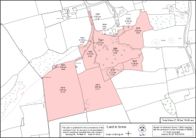
The plans and schedule of land is based on the Ordnance Survey. These particulars and plans are believed to be correct, but neither the vendor nor the agents shall be held liable for any error or mis-statement, fault or defect in the particulars and plans, neither shall such error, mis-statement, fault or defect annul the sale. The purchasers will be deemed to have inspected the property and satisfied themselves as to the condition and circumstances thereof.
BASIC PAYMENT SCHEME
No BPS included.
TOWN & COUNTRY PLANNING ACT
The property notwithstanding any description contained within these particulars, is sold subject to any Development Plan, Tree Preservation Order, Town Planning Scheme or Agreement, Resolution or Notice, which may come to be in force and also subject to any statutory provisions or bylaw, without obligation on the part of the vendor to specify them.
VIEWING
The land can be viewed at any time during daylight hours with a set of these particulars to hand.
GUIDE PRICE £200,000
MONEY LAUNDERING REGULATIONS:
The purchaser will be required to provide verification documents for identity and address purposes and will be notified of acceptable documents at point of sale.
Approx 19 Acres At Axton, Holywell
NEAREST STATIONS
Distances are straight line measurements from the centre of the postcode- Prestatyn Station2.9 miles
Notes
Disclaimer - Property reference LANDATAXTON. The information displayed about this property comprises a property advertisement. Rightmove.co.uk makes no warranty as to the accuracy or completeness of the advertisement or any linked or associated information, and Rightmove has no control over the content. This property advertisement does not constitute property particulars. The information is provided and maintained by J Bradburne Price & Co, Mold. Please contact the selling agent or developer directly to obtain any information which may be available under the terms of The Energy Performance of Buildings (Certificates and Inspections) (England and Wales) Regulations 2007 or the Home Report if in relation to a residential property in Scotland.
Map data ©OpenStreetMap contributors.


