Land At Ulverston Road, Gleaston, Ulverston, Cumbria, LA12
- PROPERTY TYPE
Land
- SIZE
100,624 sq ft
9,348 sq m
Description
Description
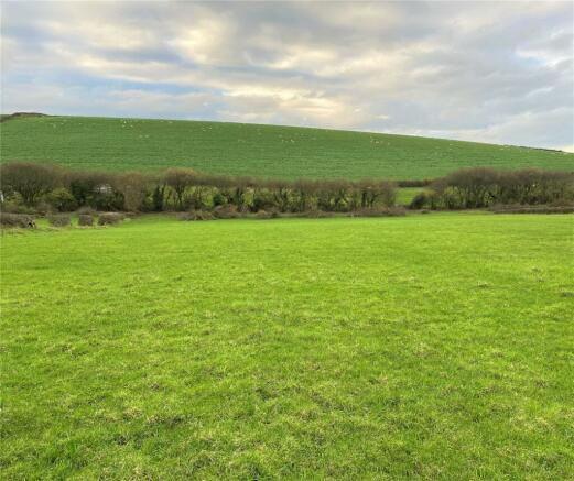
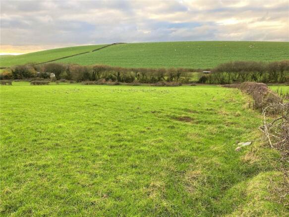
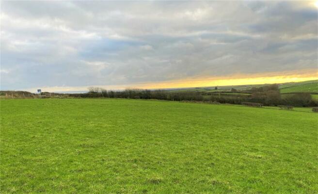
The property extends to 2.31 acres of amenity land, situated on the northern outskirts of Gleaston.
The land consists of one block of grassland with roadside access, which will have newly fenced hedgerow boundaries to all sides and a main water trough on completion.
Due to the size and location of the property, we believe it will be of high interest to a variety of individuals, particularly for equine, allotments or those wanting somewhere in the countryside to escape to.
Tenure
Freehold with vacant possession on completion.
Wayleaves/Easement
The land is sold subject to, and with the benefit of, all rights of way, whether public or private, any existing or proposed wayleaves, easements or quasi easements, whether referred to within these particulars or not.
Environmental Schemes
There are currently no Environmental Schemes or grants on the premises at the present time.
Boundaries
Boundary maintenance responsibilities, as far as known, are maintainable by the owner.
Water
The land is believed to be serviced by a mains water supply which is metered.
Inspections
During normal business hours with a set of particulars to hand.
Health and Safety
Viewers should bear in mind the risk associated with farmland, as well as any livestock or wildlife that may be present at the time of viewing.
We recommend all viewers to wear appropriate clothing and footwear to minimise the risks associated with viewing farmland.
WHAT3WORDS
explorer.amount.originate
Directions
From Barrow, follow signs for Gleaston, travelling along Roose Road and then Leece Lane and through Leece. Continue through Gleaston following signs for Ulverston and Urswick. The land is located on your left after approximately 0.4 miles.
From Ulverston, follow Mountbarrow Road following signs for Urswick. After the cattle grid onto Birkrigg Common, turn right towards Great Urswick. Take the next left towards Stainton, following the road until the T junction. Turn right towards Dalton and Stainton, then immediately left onto Ulverston Road, signposted to Gleaston. The land is located on your left after approximately 0.4 miles.
Postcode
LA12 0QH
Brochures
ParticularsLand At Ulverston Road, Gleaston, Ulverston, Cumbria, LA12
NEAREST STATIONS
Distances are straight line measurements from the centre of the postcode- Dalton Station2.4 miles
- Roose Station2.3 miles
- Barrow-in-Furness Station3.5 miles
Notes
Disclaimer - Property reference UAM230098. The information displayed about this property comprises a property advertisement. Rightmove.co.uk makes no warranty as to the accuracy or completeness of the advertisement or any linked or associated information, and Rightmove has no control over the content. This property advertisement does not constitute property particulars. The information is provided and maintained by UAM Property, Ulverston. Please contact the selling agent or developer directly to obtain any information which may be available under the terms of The Energy Performance of Buildings (Certificates and Inspections) (England and Wales) Regulations 2007 or the Home Report if in relation to a residential property in Scotland.
Map data ©OpenStreetMap contributors.


