Wood Street, Lanesfield, Wolverhampton, West Midlands, WV4
- PROPERTY TYPE
Land
- SIZE
Ask agent
Description
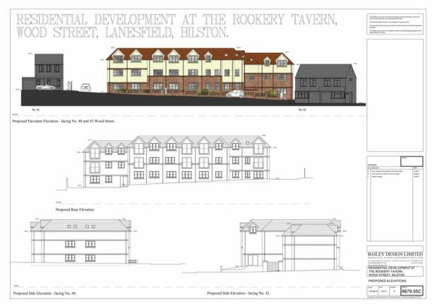
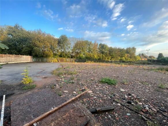
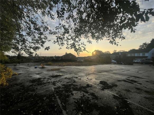
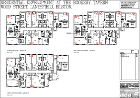
Architect has confirmed the site is 0.56 acres in size, this land was formerly the Rookery Tavern and is in a cul de sac location in a popular part of Wolverhampton having great transport links backing onto the Birmingham New Road having transport links to Birmingham and Wolverhampton, with access to both the M6 and M54.
Please contact us for further information regarding and making offers at your soonest convenience.
Brochures
ParticularsWood Street, Lanesfield, Wolverhampton, West Midlands, WV4

NEAREST STATIONS
Distances are straight line measurements from the centre of the postcode- Coseley Station1.0 miles
- Priestfield Tram Stop1.1 miles
- The Crescent Tram Stop1.2 miles
About the agent
Dixons, Wolverhampton
79 Darlington Street, Wolverhampton, Staffordshire, WV1 4JD
Your trusted agent since 1930
We’re local. Award-winning. And focused on you. We keep things simple and transparent – no fancy jargon or hidden costs. Whether you’re looking to buy, sell, let or rent, your property journey starts here.
Why we’re different
As part of the UK’s largest property services group, we have agents right across the country with access to thousands of potential buyers and tenants. With years of experience selling and letting houses like yours, in your
Industry affiliations


Notes
Disclaimer - Property reference WVN231032. The information displayed about this property comprises a property advertisement. Rightmove.co.uk makes no warranty as to the accuracy or completeness of the advertisement or any linked or associated information, and Rightmove has no control over the content. This property advertisement does not constitute property particulars. The information is provided and maintained by Dixons, Wolverhampton. Please contact the selling agent or developer directly to obtain any information which may be available under the terms of The Energy Performance of Buildings (Certificates and Inspections) (England and Wales) Regulations 2007 or the Home Report if in relation to a residential property in Scotland.
Map data ©OpenStreetMap contributors.